How to Take Subway in New York
This guide offers key insights for navigating New York City's subway system, covering its history, basic navigation, and tips for understanding maps and directional signs.

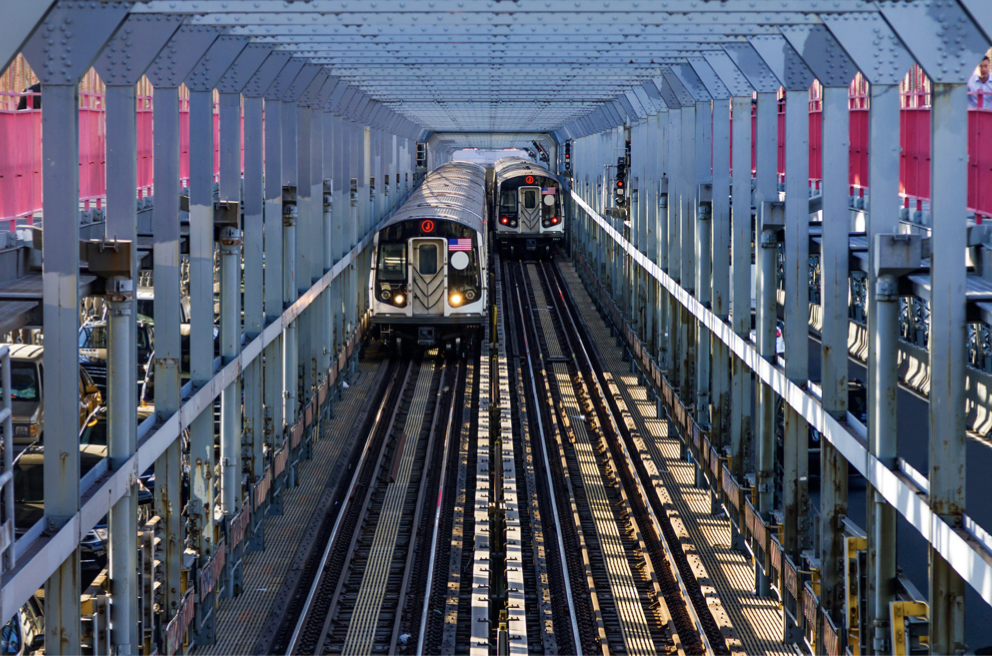
The New York City subway system boasts over a century of history, making it one of the oldest public underground railway systems globally. For many first-time visitors to New York, its transportation system can be both bewildering and dizzying.
Spanning 248 miles with 472 subway stations, New York also boasts 235 bus routes and 787 miles of railway lines. These numbers alone highlight how commonplace it is to get lost in New York, with nearly everyone having experienced taking the wrong subway at some point!
So, this article aims to provide detailed information about the New York transportation system that you need to know, aiding your travels in the city. The following guide will primarily focus on the subway lines in Manhattan, which should be helpful for most visitors.
Before delving into specifics about the subway system and each subway line, let's start with some foundational knowledge you need to grasp. Mastering these basics will already equip you with a significant advantage!
1►
Always Know Your Location
Knowing where you are and where you're headed is the first step in navigating the subway, especially considering that many New York subway lines lack cell service. Here are some basic rules about street naming conventions across different boroughs:
Typically, in Manhattan and the Bronx, streets above Houston Street have higher street numbers as you move uptown and lower street numbers as you move downtown.
In Queens, street numbers increase as you head east.
Brooklyn and Staten Island streets are often named after avenues or geographic locations.
2►
Understand the Difference Between Uptown and Downtown
Simply understanding the terms Uptown and Downtown will give you a rough sense of direction when riding the subway.
Uptown refers to traveling northbound on the subway towards the Bronx, Queens, or Upper Manhattan.
Downtown indicates southbound subway travel, usually towards Lower Manhattan or Brooklyn.

3►
Learn to Read the New York Subway Map
Quickly deciphering the information you need from the map isn't an easy task. New York subway maps aren't as straightforward as those in cities like London or Tokyo.
Through years of experience, I've developed an easy-to-follow rule for understanding the New York subway map: On each subway line, you'll encounter different symbols carrying distinct meanings.
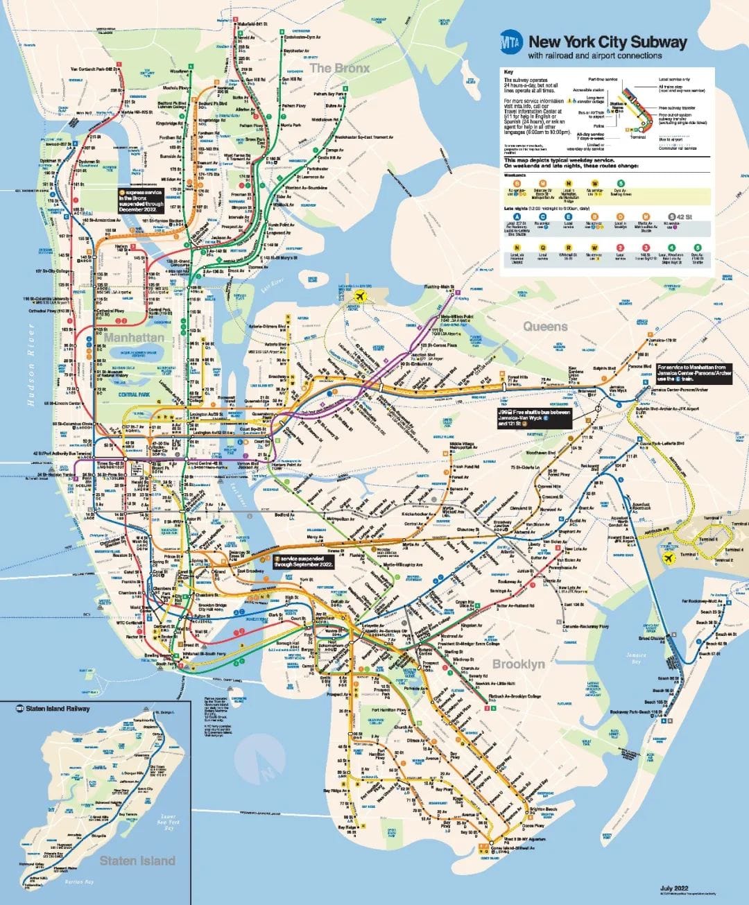
dots represent local stations (indicating where the subway stops). This means express trains won't stop at these stations (e.g., 23rd St, 28th St, 110th St, 116th St).
White dots denote express stations. Examining the subway line on the map allows you to easily identify express trains (e.g., 59th St-Columbus Circle, 42nd St, 34th St).
Oval-shaped large white dots represent major transit hubs (e.g., Times Square-42nd St, Grand Central-42nd St).
Black lines between stations signify their connection (often through tunnels). Numbered and lettered subway lines represent two different systems that eventually merged into the New York subway system. Numbered lines have smaller train cars, while lettered lines have larger ones. It's usually easy to switch to trains on the same type of line, but if transferring between different types, you often have to walk within the station to make the change.
Other notes:
At each station, you can see which trains stop where. If they're marked in bold on the map, it means the line operates 24/7. If not in bold, it operates only on weekdays.
If a subway line is marked as dotted on the map, it means it doesn't operate 24/7 (e.g., PATH, railways, Amtrak, airport shuttles, and ferries).
4►
Learn to Differentiate Between Express and Local Trains
Diamond-shaped subway symbols represent express trains, while circular symbols represent local trains. You can also easily identify express trains by looking at the stations marked with white dots on the map.
Now that you've mastered the essential subway knowledge, it's time to explore and practice. The more you ride the subway, the more proficient you'll become. Here's a list of each subway line, their signature colors, and alternative names:
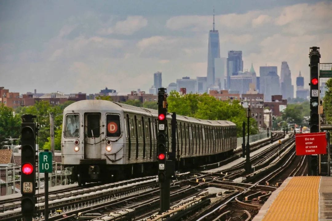
(Blue) A, C, E - Eighth Avenue
(Red) 1, 2, 3 - Seventh Avenue/Broadway
(Orange) B, D, F, M - Sixth Avenue
(Yellow) N, Q, R, W - Broadway
(Green) 4, 5, 6 - Lexington Avenue
(Brown) J, Z - Manhattan to Jamaica/JFK Airport
(Purple) 7 - Flushing Line (from Chinatown to Flushing)
(Light Green) G - Crosstown (also known as the subway that crosses Queens and Brooklyn)
(Light Gray) L - Canarsie (stops at 14th St in Brooklyn's Canarsie)
(Gray) S - Shuttle (e.g., Grand Central-42nd St to Times Square-42nd St)
Looking for a comfortable stay in NYC? Check out b0arding.com, offering convenient accommodations just steps away from major subway stations.

Another key to riding the subway like a local is learning to read directional signs! These signs are ubiquitous, providing information about subway lines, stations, directions, and any necessary navigation details. Mastering these directional signs is incredibly helpful.
These are the essential pieces of information you need to know when riding the New York subway. Wishing you smooth travels!